With customizable dashboards and scalable cloud solutions, organizations can visualize trends, monitor assets, and make informed decisions—turning raw geodata into a strategic advantage.
Modern geospatial platforms offer modular solutions, from API-based integrations to full-stack GIS software, ensuring compatibility with existing workflows. Whether it’s HD mapping for autonomous vehicles, demographic heatmaps for market expansion, or environmental monitoring for ESG compliance, these tools adapt to diverse business requirements. By combining proprietary datasets with open-source resources, companies gain unparalleled accuracy and coverage. As location intelligence becomes a cornerstone of digital transformation, investing in robust geospatial platforms ensures agility, efficiency, and a competitive edge in an increasingly spatial economy.
Contact us today to discuss how we can support your commercial GIS data and platforms!

Advanced LiDAR and laser scanning for exact digital replicas.
Scalable cloud infrastructure for geospatial data processing and AI-driven analytics.

Global mapping APIs and location services for navigation, logistics, and business intelligence.

Planetary-scale geospatial analysis for environmental monitoring and sustainability.

Precision mapping and location services for autonomous vehicles and smart cities.
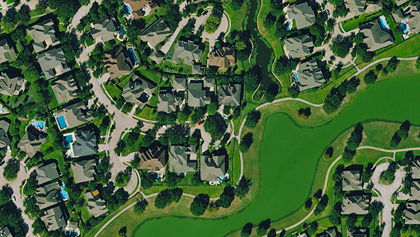
High-resolution aerial and satellite imagery for defense, agriculture, and infrastructure.

Ultra-HD aerial imagery and photogrammetry for detailed 3D mapping.
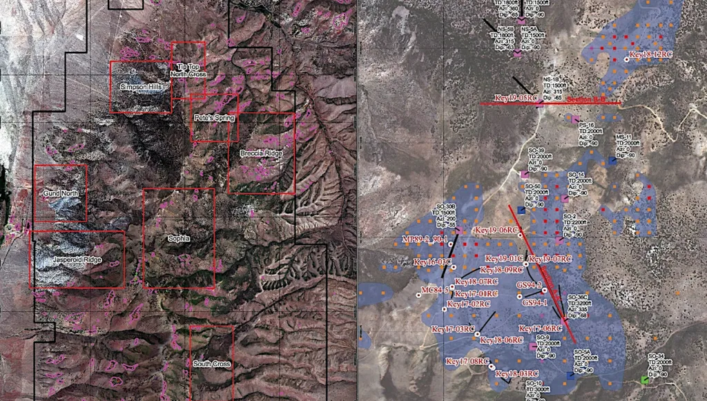
AI-powered hyperspectral data for agriculture, mining, and environmental insights.

Industry-leading GIS software (ArcGIS) for spatial analytics and decision-making.