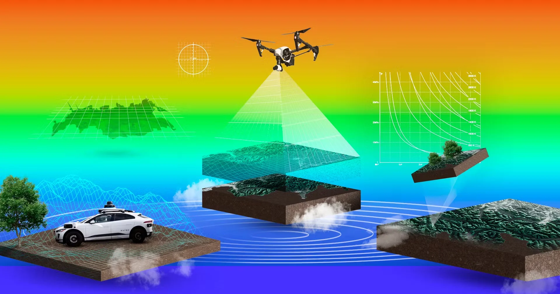
From aerial surveys to drone mapping and ground inspections, Levar handles it all. With our planes, sensors, and expert team, we deliver accurate geospatial data for smarter decisions
Precision depth-mapping for unmatched 3D insights and capturing reality in detail.
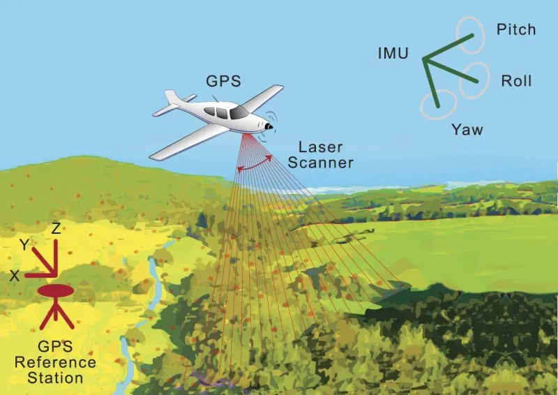
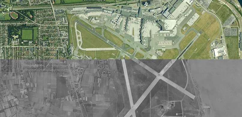
High-altitude data collection for large-scale terrain mapping and infrastructure planning.
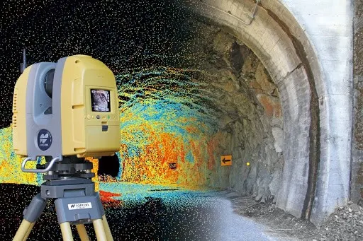
Ground-based scanning for detailed architectural, industrial, and structural analysis.
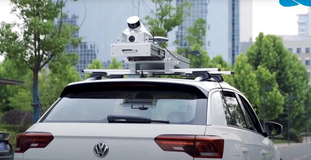
Vehicle-mounted LiDAR for roadways, railways, and corridor mapping projects.

Accurate interior space modeling for construction, facility management, and renovation.
High-precision aerial mapping with elevation intelligence for clearer, data-rich perspectives.
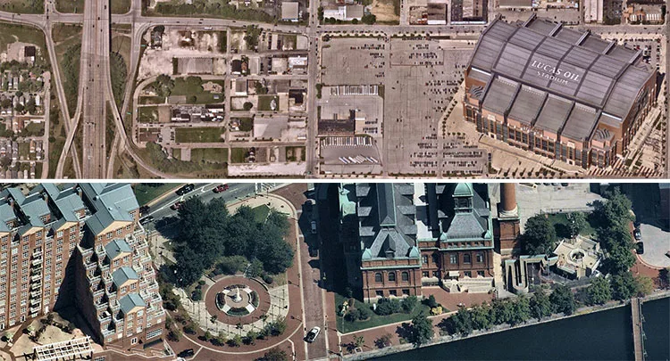
Capture multi-angle, real-world views for enhanced 3D mapping and detailed visual analysis.
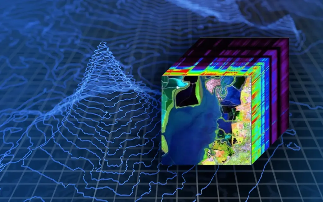
Identify hidden insights with advanced spectral analysis for precise environmental, agricultural, and mineral detection.
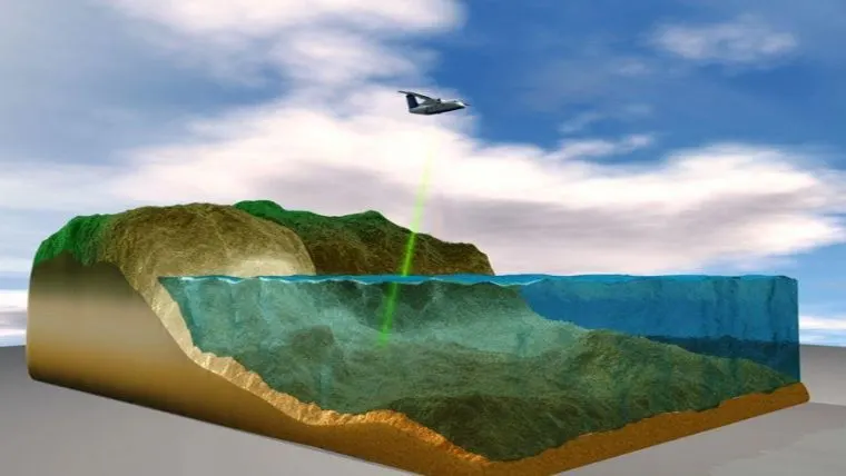
Charting underwater terrain with precision for coastal, marine, and hydrological mapping.