By extracting features like roads, buildings, and vegetation from source data, we enable advanced spatial analysis that converts data into powerful location intelligence. Discover our range of specialized services.
Contact us today to discuss how we can support your project geospatial data analysis with high accuracy!

A digital twin is a dynamic, virtual replica of a physical asset, system, or environment—powered by real-time geospatial data. By integrating IoT sensors, 3D modeling, and AI analytics, digital twins enable predictive maintenance, scenario testing, and operational optimization for industries like urban planning, utilities, and industrial facilities.
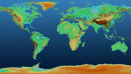
DEMs provide accurate, high-resolution representations of terrain elevation, essential for flood modeling, infrastructure design, and environmental studies. Leveraging LiDAR, photogrammetry, or radar data, our DEMs support slope analysis, contour mapping, and volumetric calculations with sub-meter precision.
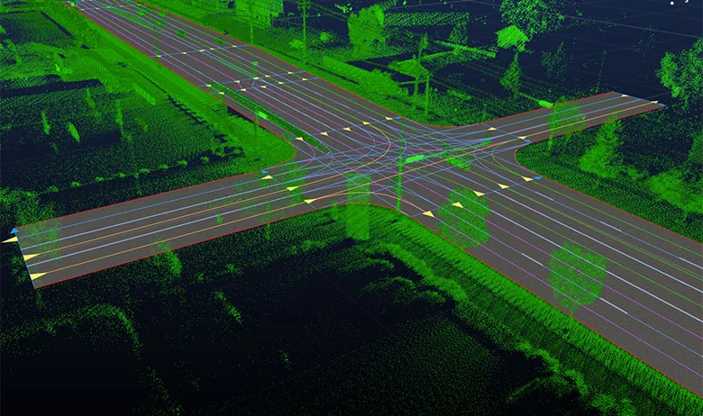
HD Mapping delivers centimeter-level accuracy for autonomous vehicles, smart cities, and precision agriculture. Combining LiDAR, aerial imagery, and AI-driven feature extraction, these maps offer granular detail for lane markings, street furniture, and subsurface utilities.

From highways to railways, our geospatial solutions optimize transportation networks through condition assessment, traffic flow analysis, and route planning. GIS and BIM integration ensure lifecycle management of assets, reducing costs and improving safety.
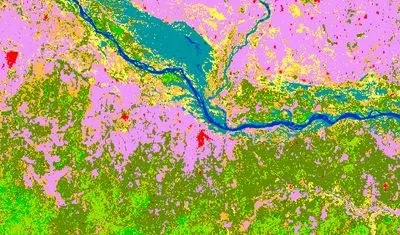
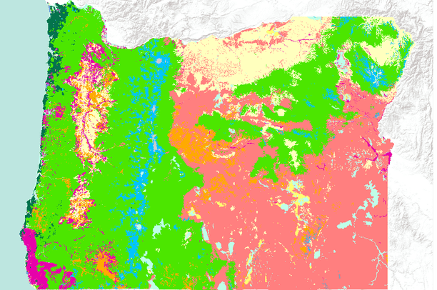
LULC mapping classifies earth’s surface into categories (urban, forest, water, etc.) using satellite/AI analysis. It’s critical for zoning, carbon sequestration tracking, and habitat conservation—supporting ESG compliance and sustainable development.
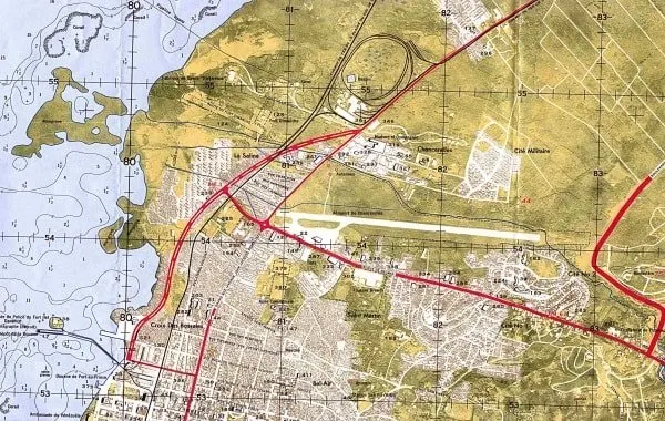
Planimetric maps capture 2D spatial data (buildings, roads, utilities) for cadastral surveys, urban planning, and emergency response. Orthophotos and vector datasets provide a distortion-free foundation for infrastructure projects.
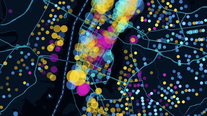
Blending geospatial analytics with machine learning, we uncover patterns in location data—predicting risks, optimizing logistics, and enhancing site selection. Applications span retail, public health, and climate resilience.
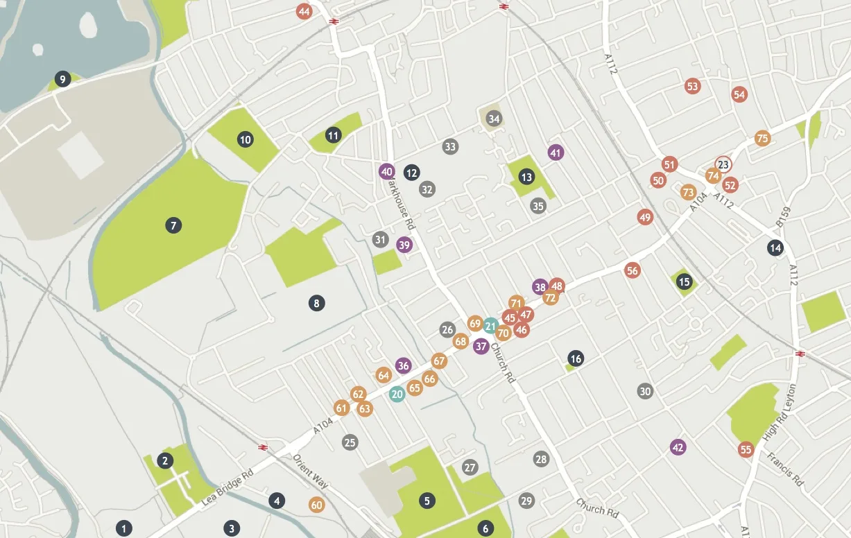
Georeferenced inventories of pipelines, power grids, or telecom networks enable efficient asset tracking, maintenance scheduling, and outage management. Real-time updates reduce downtime and extend asset lifespans.
Using multispectral imagery and NDVI analysis, we monitor crop health, forest density, and invasive species. Insights support precision agriculture, wildfire prevention, and biodiversity programs.
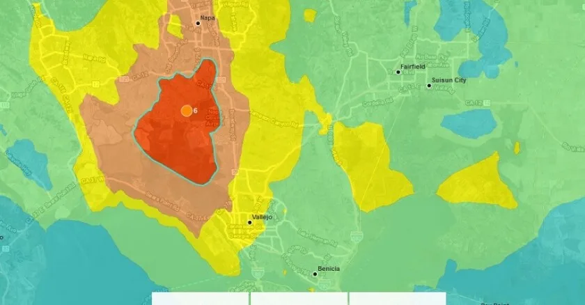
Geospatial intelligence identifies flood zones, seismic risks, and evacuation routes. Pre- and post-event mapping aids emergency response, insurance assessments, and community resilience planning.